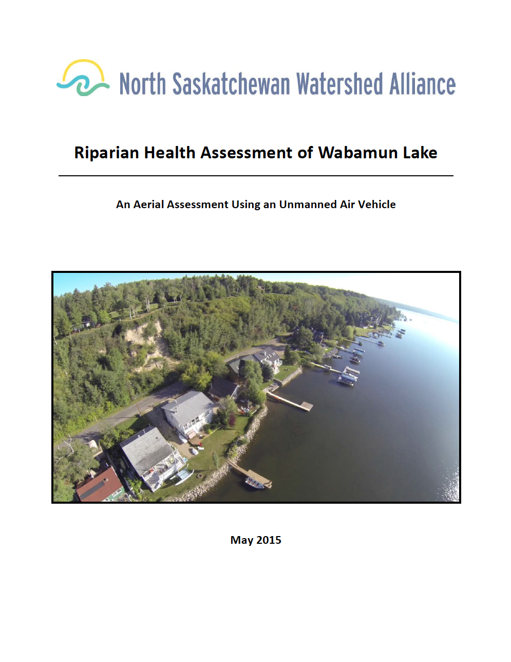
The North Saskatchewan Watershed Alliance (NSWA) was approached by the Wabamun Watershed Management Council in 2014 to assess the health of the Riparian Management Area of Wabamun Lake. The ensuing project was conducted using new aerial videography methods. These methods included video footage captured by a quad‐copter unmanned air vehicle (UAV‐ commonly known as a drone), high‐definition footage and ortho‐rectified photographs on an ArcGIS platform. The use of this innovative approach was considered to be highly successful and cost‐ effective. Read More


